This post simply presents some food for thought. The discussion will start with a look at the Klamath Mountains of southwest Oregon and northwest California. The general location of these mountains is noted on maps at the following links: (1) (2).
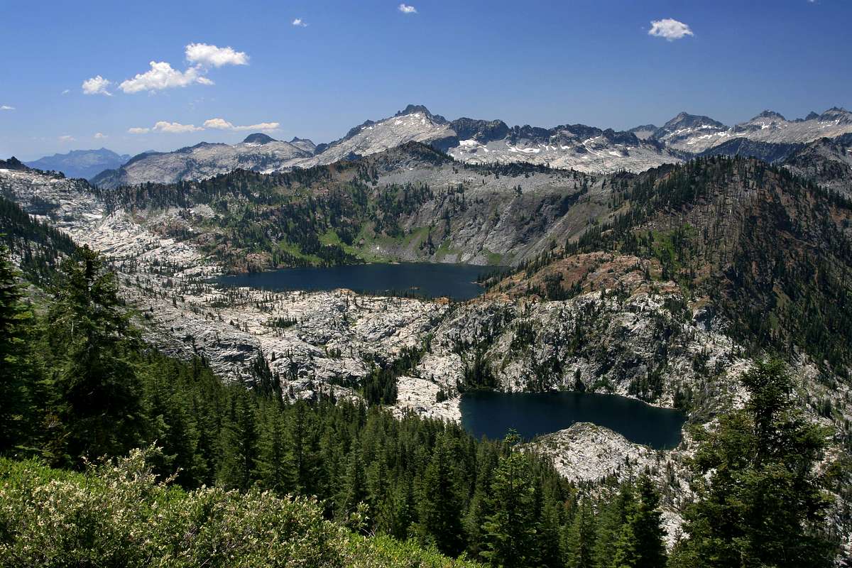
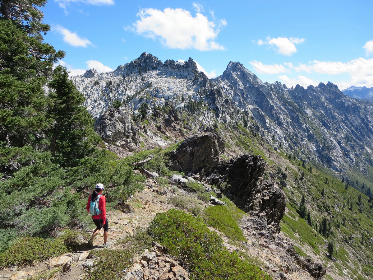
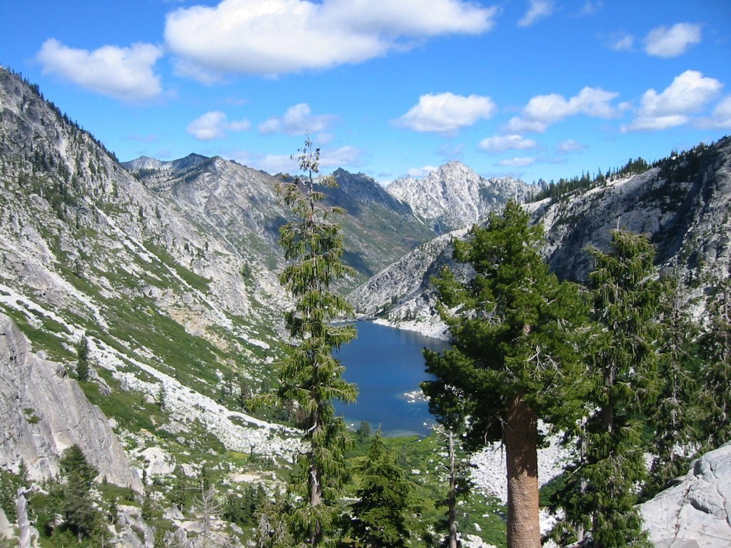
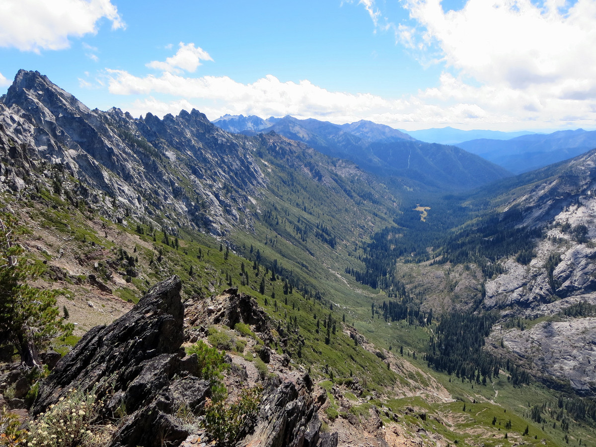
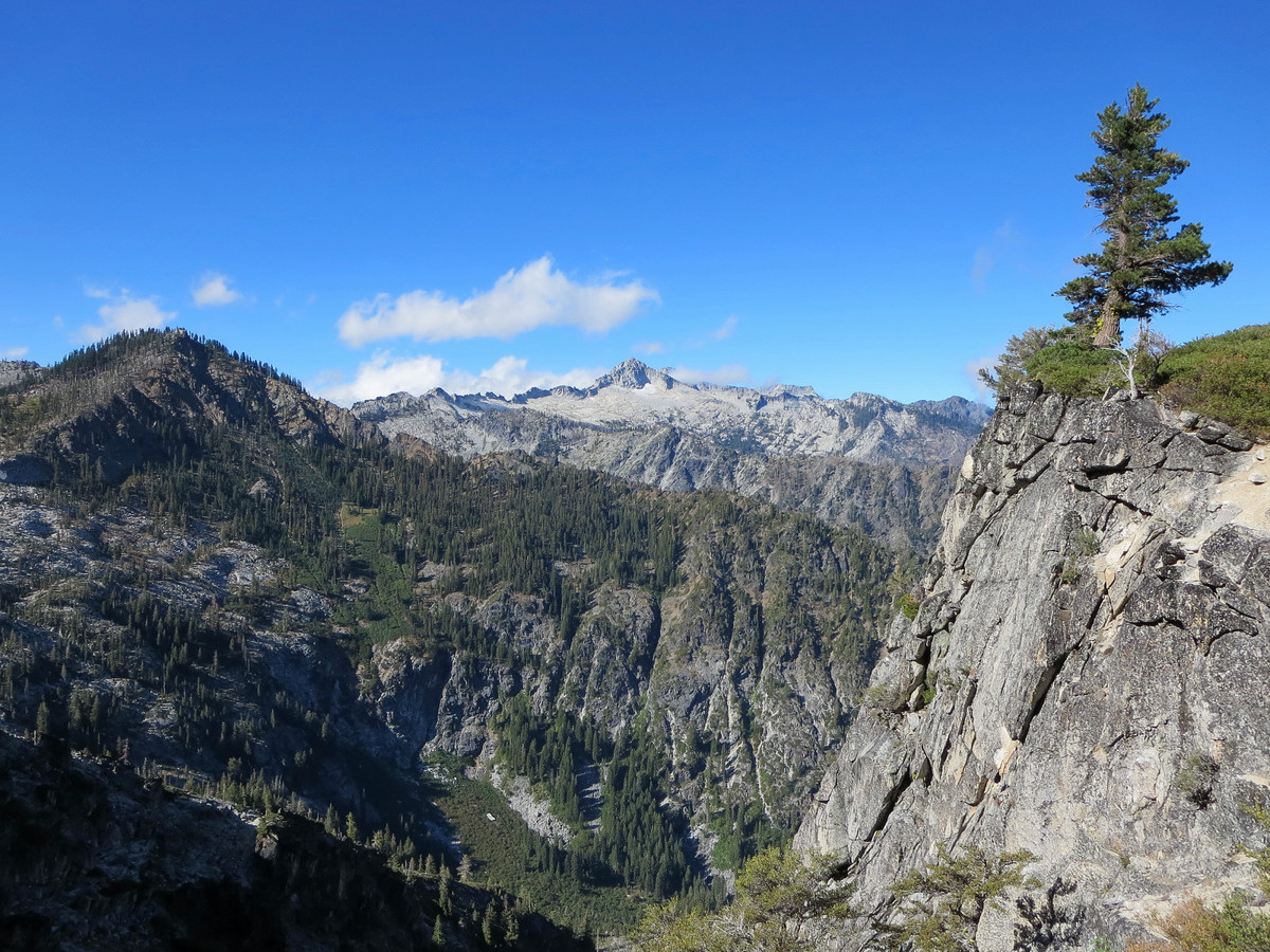
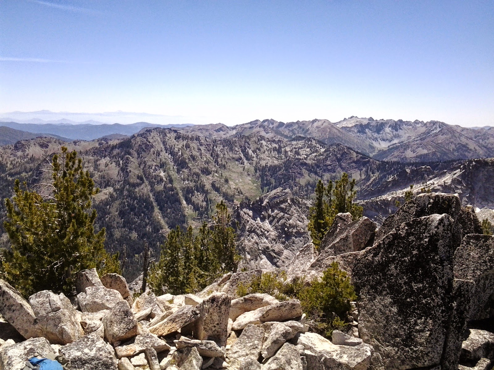
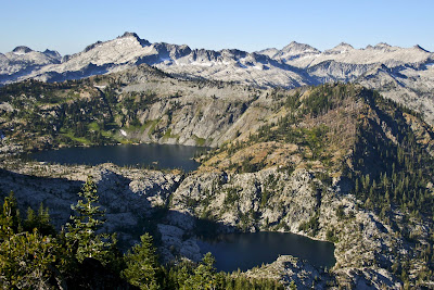
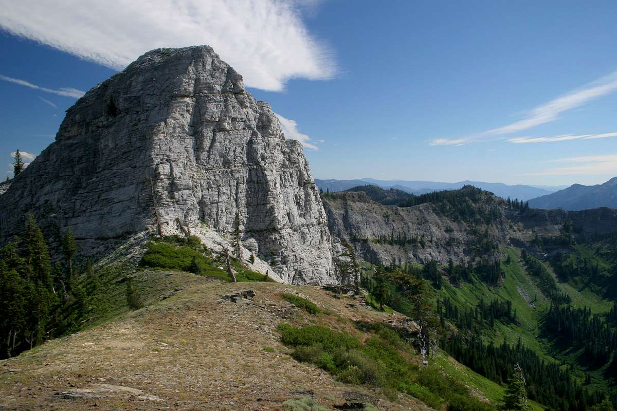
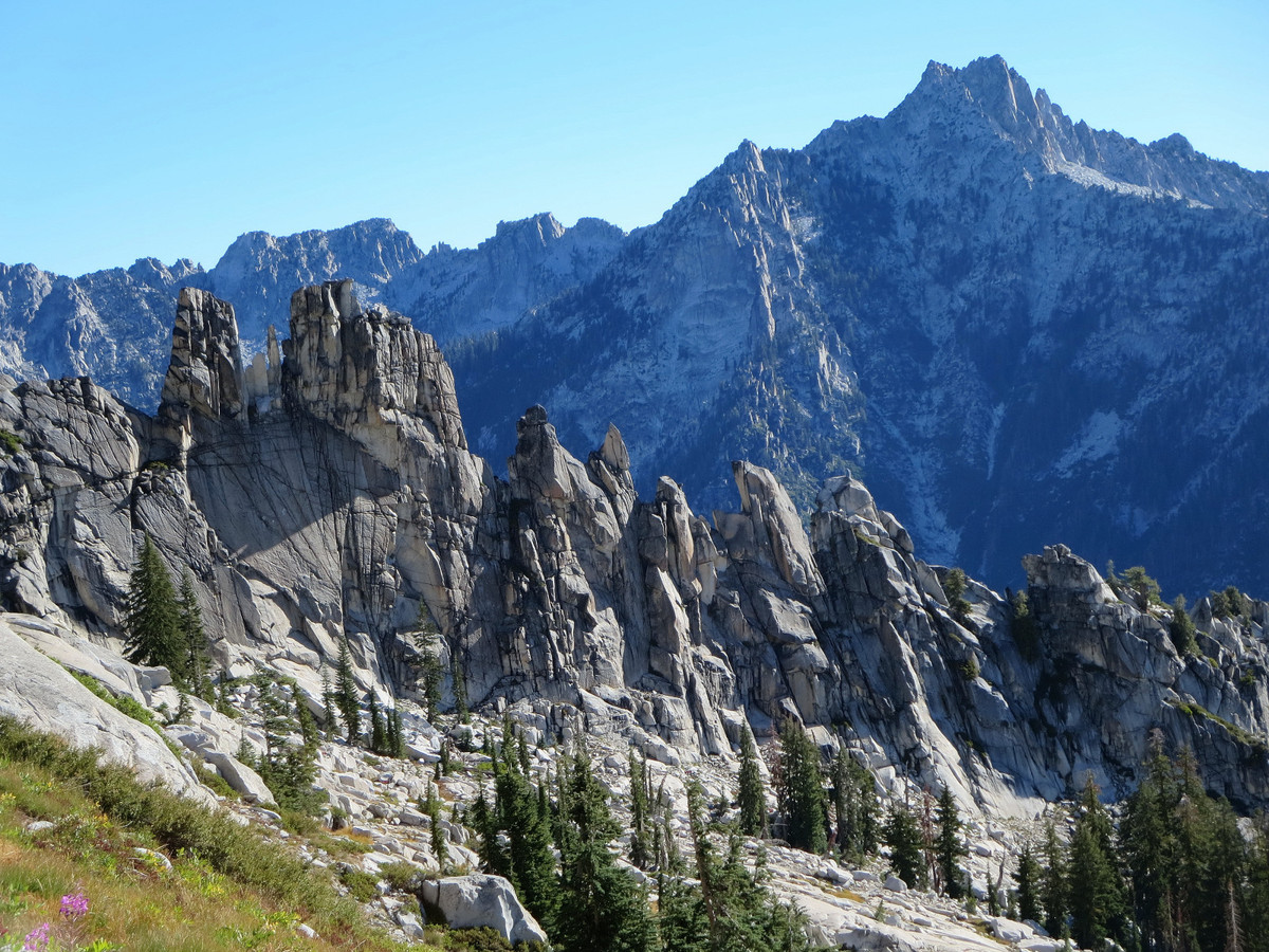
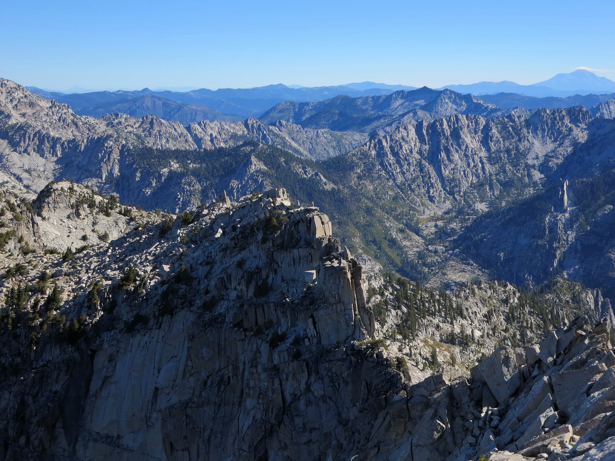
The Klamath Mountains is an area with a very unique geology (3), compared to the remainder of California and Oregon. It is an area of very rugged mountains and other interesting geologic features. In support of these statements, just take some time to scan through photos from the Klamath Mountains region, which are found on the Internet at the following links: (4) (5) (6) (7) (8) (9) (10) (11) (12) (13) (14) (15) (16) (17) (18) (19) (20) (21) (22) (23) (24) (25).
The Klamath Mountains are unique in a special way. They were not
originally part of the ancient North American continent. Regarding the
Klamath Mountains, a page from Oregon Magazine, linked here,
states things very simply in this manner: "A series of metamorphic and
igneous mountain chains formed as islands and then collided with North
America..." By looking at a map, linked here,
it becomes clear that in the ancient collision with North America, the
islands which now form the Klamath Mountains were embedded deeply into
the continental landmass, all the way to the Cascade Mountains.
At this point, there is a question to consider. Where were the original
islands formed and located, which now make up the Klamath Mountains?
From his research, the writer has reason to believe that these islands
were formed at the ancient mid-ocean ridge and rift system which
formerly lay west of ancient North America. The Klamaths appear to have
been islands on top of the rift system, just as Iceland is an island on
top of a mid-ocean ridge and rift system in the Atlantic Ocean (link).
In the case of the Klamaths, during the collision with North America as the continent moved westward,
the islands were mashed deeply into the larger landmass. Because of the
nature of this collision and the compression involved, any rift line
which originally may have passed through these islands may be much less
obvious. At this point, there is a question to consider. Where then
would the ancient mid-ocean rift system now be located, in relation to
the continental landmass, after the collision and embedding process?
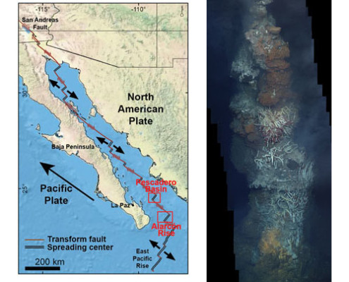
At this point, there is something to note. Far to the south, the oceanic
ridge and rift system lies in the bottom of the Gulf of California,
between the peninsula of Baja California and the mainland of Mexico.
This is shown in a map, linked here. A map, linked here,
notes the area of the 'Gulf of California Rift Zone' in the Salton
Trough of southern California. From this region northward, it appears
that the rift is located under the continental landmass of the United
States...somewhere, deep under the states of California, Oregon and
Washington. Should not the embedded location of the ancient islands,
which now form the Klamath Mountains, give us some indication of the
present location for this deeply buried ancient rift?
It is commonly taught that the San Andreas Fault represents the path of
the oceanic rift, as it passes in a northerly direction through the
landmass and back out to sea not far from San Francisco, California.
This is shown on a map linked here.
But there may be more to consider here. The writer has reason to
believe that the San Andreas represents a more surface-type of fault,
with the ancient oceanic rift being much deeper and following a
different path.
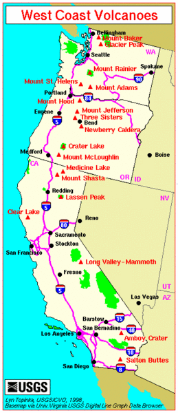
On a USGS map, linked here,
it should be noted that the Salton Buttes in southern California are classed
among the "high threat volcanoes." Moving northward in a line, there are more
volcanic features which form the Ubehebe Craters and the Long Valley
Caldera. Along the north-trending line are also located the volcanoes of
Lassen Peak and Mount Shasta. Mount Shasta is in the Cascade Range and located
further inland from those now embedded islands which form the Klamath
Mountains.
It is now time for some food for thought. Would it not be logical to
suspect that the ancient rift upon which the "islands" of the Klamath
Mountains resided, when looking at the California portion of this rift,
would generally follow the line of volcanoes to the east of the Sierra
Nevada? Isn't it rather common on this earth to have rift lines
"feeding" a line of volcanoes?
The volcanic line to the east of the Sierra Nevada continues northward
toward Mount Shasta. From there, it heads northward along the volcanoes
of the Cascade Mountains in Oregon and Washington. This main track of
volcanoes through California, Oregon and Washington can readily be
observed on a USGS map, linked here.
The bottom line is this: When things really break loose on the West
Coast of North America, we may all know, without any remaining
questions, where the true path of the deeply buried, ancient rift has
been located for quite a period of time.
For further reading:
Current Expectations for a Cascadia Mega-Quake
https://cascadian.neocities.org/cascadiaquake.htm
Wednesday, September 7, 2016
Considering the Location of an Ancient Rift
.jpg)
.jpg)
Subscribe to:
Post Comments (Atom)
No comments:
Post a Comment